Cambarville Trails
| Name: | Marysville Lake Mountain Visitor Information Centre |
|---|---|
| Address: | Marysville - Woods Point Road, Cambarville |
| Email: | info@marysvilletourism.com |
| Phone: | 03 5963 4567 |
Description
The Marysville – Woods Point Road was originally part of the Yarra Track, constructed in the early 1860s to provide access between Healesville and the Woods Point Goldfields. Despite the steep terrain and engineering difficulties, the Yarra Track soon becane a busy route used by pack horses, horse-drawn drays and wagons. Today this sealed mountain road is a popular scenic drive between Marysville and Warburton.
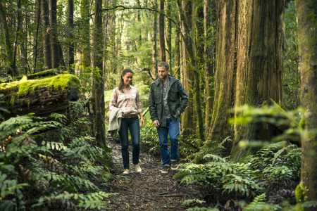
The Cambarville Historic area is located 18km along the road from Marysville and is a wonderful place to immerse yourself in the region’s gold and logging history, as well as walk beneath some of Victoria’s tallest trees. There is a short historic township walk and a longer forest and waterfall walk for the more energetic.
A major point of interest is the ‘Big Tree’ – a 400 year old giant standing 85 metres above the forest floor. Just nearby is the Big Culvert, the largest and most accessible of the road’s five historic arched bridges, which are still in use today.
For further information on each of these trails you can pop into the Visitor Information Centre in Marysville and collect a trail map.


